RESOURCES & OPPORTUNITIESBelow we list upcoming trainings, seminars, and conferences happening in the southern US, as well as headline stories, reports, and funding sources pertinent to Southern Conservation Partners' mission and interests.
|
Photo by Mike Dunn
|
Upcoming Conferences and Events
|
Upcoming regional conferences of interest in the Southern U.S. We invite you to provide us with information about other conferences concerning protection and enhancement of environmental resources.
78th Annual Conference of the Southeastern Association of Fish and Wildlife Agencies will be held October 12-16, 2024 in Augusta, Georgia, hosted by the GA. Department of Natural Resources. Conservation News Headlines and Featured Resources
|
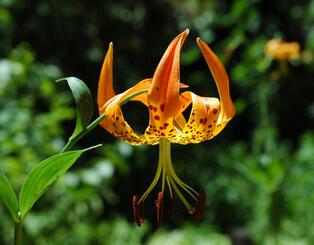
Photo by Johnny Randall
Tips for Nonprofit Conservation OrganizationsONLINE CONSERVATION MANAGEMENT GUIDANCE RESOURCES for LANDOWNERS
There is a great and unmet need to provide private landowners guidance and assistance to design natural resource conservation plans and implement good, productive, restorative practices on their conserved properties. We recommend the USDA Natural Resources and Conservation Service local office as the first place for a landowner to go for help in preparing and implementing a conservation plan to manage and restore natural resources on the landscape. To learn more and identify your local USDA Service Center visit www.nrcs.usda.gov . Establishing a Conservation Plan qualifies a landowner to receive financial and technical assistance to implement land, water, and wildlife conservation actions. Another dependable source of assistance is from professional staff at your local Soil and Water Conservation District. American Forest Foundation (“we grow stewardship every day”) supplies helpful guidance to America's 22 million family forestland owners and their management advisers. AFF operates the FREE web-based resource for forestland owners who want to apply good forest, land, water and wildlife conservation practices on their properties. The AFF website is used by as many as 10,000 landowners monthly ; see www.MyLandPlan.org. Resources First Foundation (“Connecting People to Conservation”), a nonprofit organization, operates the Private Landowner Network, a nationwide directory of more than 27,000 conservation resources, articles, and professionals, helping landowners to navigate the complex choices of good land stewardship and conservation. The online library provides access to a suite of online resources that encourage and help private landowners (who own more than 60 percent of America’s landscape) to participate in good land stewardship and implement conservation practices on their land. Instructions on how to add information and profiles of other sources of land management assistance to landowners HERE. We recommend an excellent conservation planning guide for landowners, which while produced for North Carolina owners of "working" farm and forestlands, is applicable for landowners in all other Southern states. 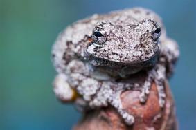
Photo by Mac Stone
The care of the earth is our most ancient and most worthy and . . . most pleasing responsibility. To cherish what remains of it, and to foster its renewal, is our only legitimate hope. 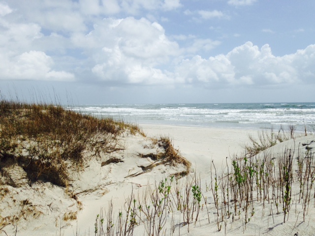
Atlantic ocean beach by C. Roe
Photo by Chuck Roe
Photo by Chuck Roe
Photo by Chuck Roe

|
|
|
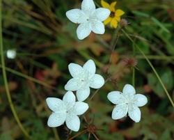
Photo by Laura Cotterman
|